One SICK Loop
Total Distance :: 51.6 miles
Driving Time :: 1 hour 35 minutes
Ride Summary : DISCLAIMER - this ride is comprised of some of the trickiest and most technical roads you'll ever experience. If the Blue Ridge Parkway has been putting you to sleep, this ride will wake you up - or else. It throws everything at you and lures you into curves and switchbacks that will have experts grinning and a novice clenching his teeth. You've been warned!
Ride Description
We'll start and end with the peace and tranquility of the Blue Ridge Parkway at the Beech Gap Exit for NC 215 at MP 423.3.
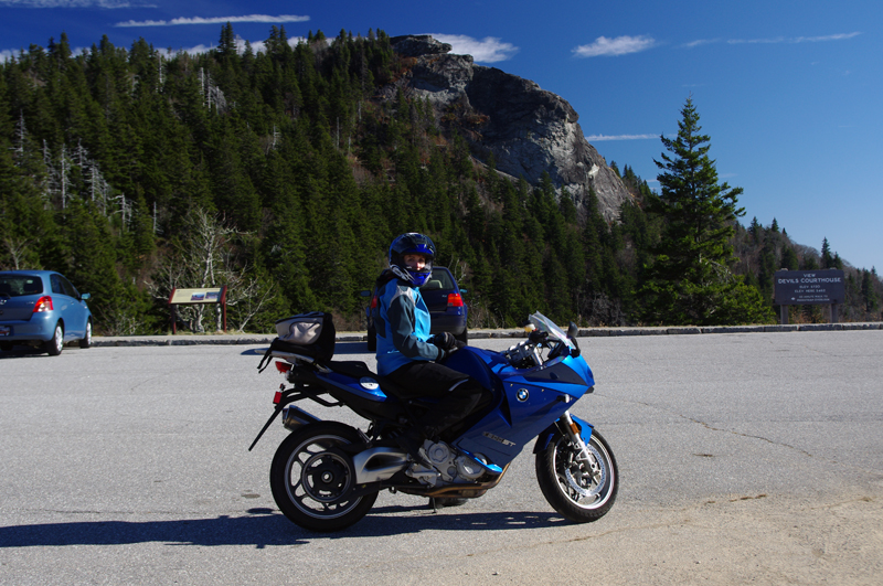
Exit the Blue Ridge Parkway, turn right on NC 215, pass under the parkway, and enjoy the outstanding views into South Carolina. The prominent rock formation atop the ridge on the horizon is the Devil's Courthouse. If you haven't already stopped there for a photo, it's just 0.9 miles up the parkway once you get back.
I love this section of road. With long range views to one side and wall of looming rock faces on the other, the road sweeps through broad curves as it cascades down the mountain. The big unpaved pull out you pass is another great place for a photo. Watch for gravel in the sharp turns when the trees close in on you.
You'll come to a straight section of downhill grade but be prepared, you'll be making the right turn onto Charlie's Creek Road which can come up quickly on you.
The first 2.4 miles of Charlie's Creek Road has a loose surface, but it improves. There will be more loose stuff in the curves from driveways and trucks which run off the edge of the road. Ease into the ride.
I won't ruin the rest of the ride by telling you too much, discovery is half the fun. Here are some clues - expect all variations of pavement, potholes, patches. Beware of the straights. Possible animals wild and domestic. There's a nice break spot at Balsam Lake.
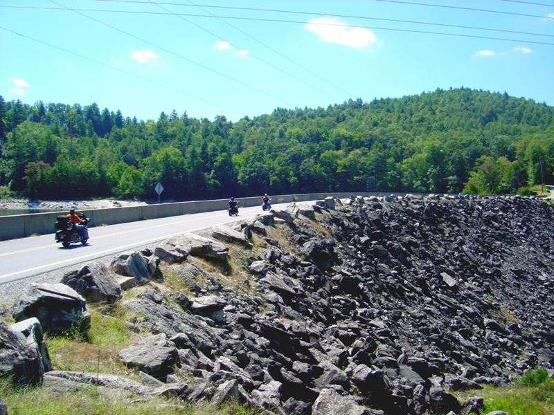
Turn left when you reach NC 281 (Canada Road). You'll soon find yourself on some nice pavement with the curves to make the most of it. Since the last section of NC281 was paved a couple years ago, it's become a local favorite ride. Those with a fear of heights will find the ride across the dam interesting, another good spot for a break and photos.
Watch to make a left turn onto Silversteen Road. The best of it comes once you pass the mid point. You'll turn right (south) to continue on Silversteen Road. You should be all warmed up for this bit of fun, enjoy it.
Silversteen Road will end when you reach US 64. There's a gas station and convenience store at this corner. Good place to top up.
Turn left onto busy US 64 and follow it 2.6 miles to reach NC 215 near Rosman.
Turn left onto NC 215 (Parkway Road), a whitewater outfitter sits on the corner. NC 215 will take you all the way back to the Blue Ridge Parkway. Nice pavement, nicer curves, nice ride to end on. Last chance for gas in Balsam Grove.
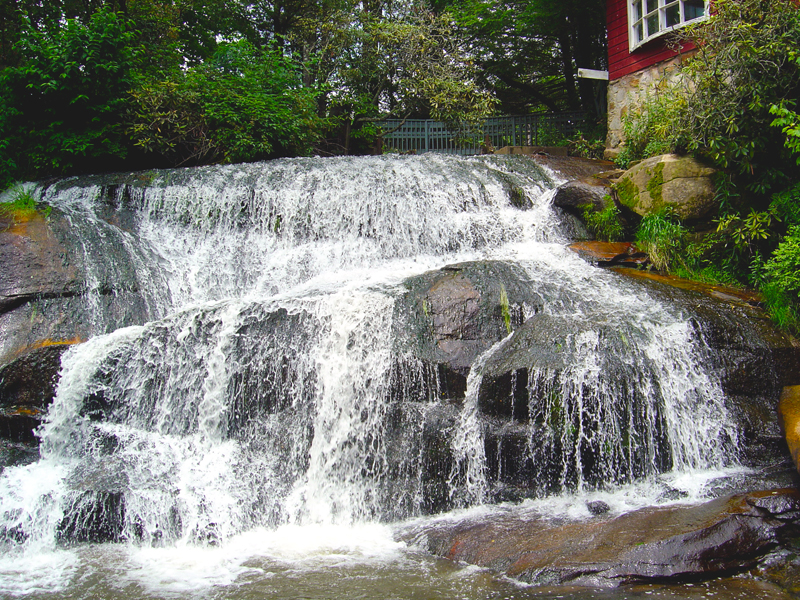
NC 215 Bonus - Start watching for the Living Waters Retreat Center on your left 5.5 miles from US 64. Just BEFORE you reach it, there is a 45 mph speed limit sign on the left. Park near this sign. A short path leads to 2 roadside waterfalls. The slippery trail leads to 3 more close by.
Interactive Map
To use the interactive map, you can click on any of the waypoints for more information (see key below map for details on the different waypoint icon types). You can also click on the route segments for detailed directions. Since we use the Google Maps interface, you can pan and zoom easily. Also, you can drag the "Person Icon" above the zoom bar to the route for a 360° tour using Google Maps Streetview system.
| This Ride Sponsored By: |  |
Map Key:
![]() Start of Ride
Start of Ride
![]() Intersection Marker
Intersection Marker
![]() Scenic Point
Scenic Point
![]() End of Ride
End of Ride
Elevation Profile

Elevation Information
- Lowest Point: 2206
- Highest Point: 5341
- Average Elevation: 3301
Grade Information
- Max Uphill Grade: 16.7
- Max Downhill Grade: 13.1
- Avg Grade: 4.4
Mile by Mile Directions
- Mile 0 :: Blue Ridge Parkway at the Beech Gap Exit for NC 215 at MP 423.3
- Mile 3.3 :: Turn right onto Charlie’s Creek Road.
- Mile 14.1 :: Turn left onto NC 281 (Canada Road)
- Mile 18.5 :: Wolf Creek Reservoir
- Mile 25.2 :: Turn left onto Silversteen Road.
- Mile 28.1 :: Turn right to stay on Silversteen Road.
- Mile 34.1 :: Turn left onto US 64.
- Mile 36.7 :: Turn left onto NC 215 (Parkway Road)
- Mile 42.2 :: Hidden waterfalls
- Mile 50.5 :: Pass Charlie’s Creek Road
- Mile 51.6 :: Blue Ridge Parkway at the Beech Gap Exit for NC 215 at MP 423.3
Photo Gallery
Click on a square thumbnail to view a larger image.
-
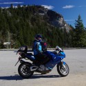
- Devils Courthouse on the Blue Ridge Parkway
-
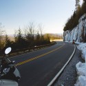
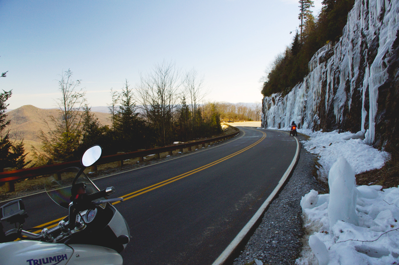
- Winter at the high points on NC 215
-
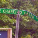
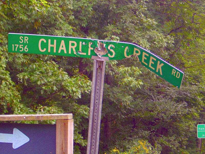
- The sign describes the road well
-
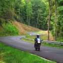
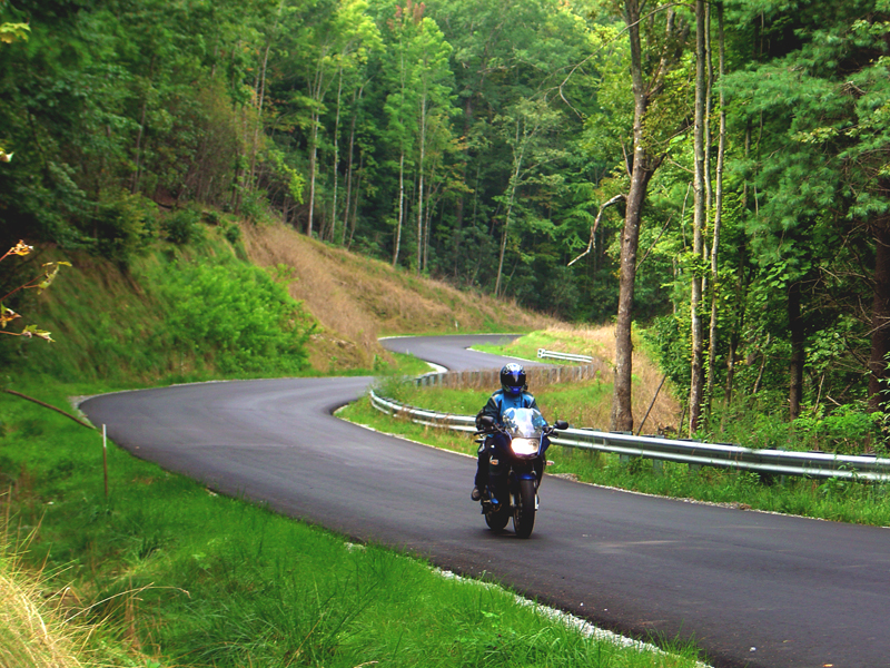
- Charlie’s Creek Road
-
- NC 281 – just after paving
-
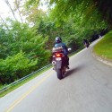
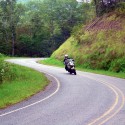
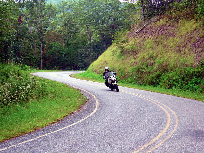
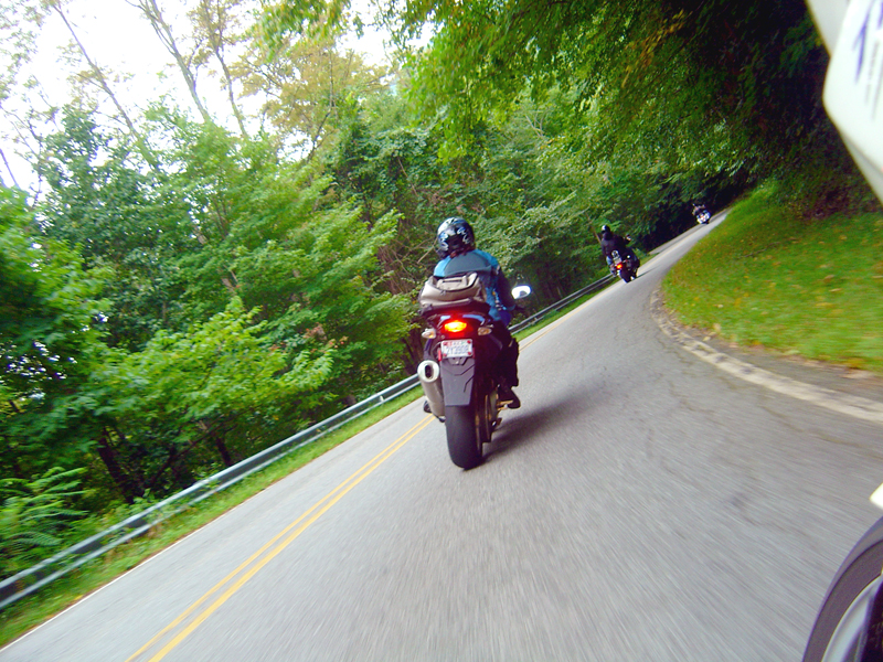
- Motorcycles on NC 215
-
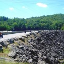
- NC 281 – Wolf Creek Reservoir
-
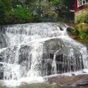
- Bonus – hidden waterfalls
Attribution
 This motorcycle ride was contributed by Wayne Busch from America Rides Maps. It is one of many great rides featured on map #6 ("The Best Motorcycle Rides Near Smoky Mountains National Park - EAST") in the Blue Ridge Parkway series of Motorcycle Maps. You may purchase this map and other America Rides Maps at the Virtual Blue Ridge Bookstore.