Cold Mountain Loop - US 276 / NC 215 / Blue Ridge Parkway
Total Distance :: 44.1 miles
Driving Time :: 1 hour 15 mins
Ride Summary : Starting from the highest section of the Blue Ridge Parkway, this loop ride around Cold Mountain (of movie fame) follows the origins of the east and west forks of the Pigeon River as they cascade down to their union in the Bethel Valley. The 12 mile section of the Blue Ridge Parkway included is packed with long range views from the numerous overlooks, while the descent to the pastoral valley and the climb back to the parkway hold some of the most enjoyable and challenging riding you’ll find. It’s no wonder this is a local favorite ride you’re sure to enjoy.
Ride Description
This ride forms a triangle, one leg of which is a section of the Blue Ridge Parkway. Most locals approach from historic Waynesville, which is 6.3 miles from the traffic light in Bethel on US 276 to the quaint and popular downtown. You’ll find great food and lodging here on Main Street.
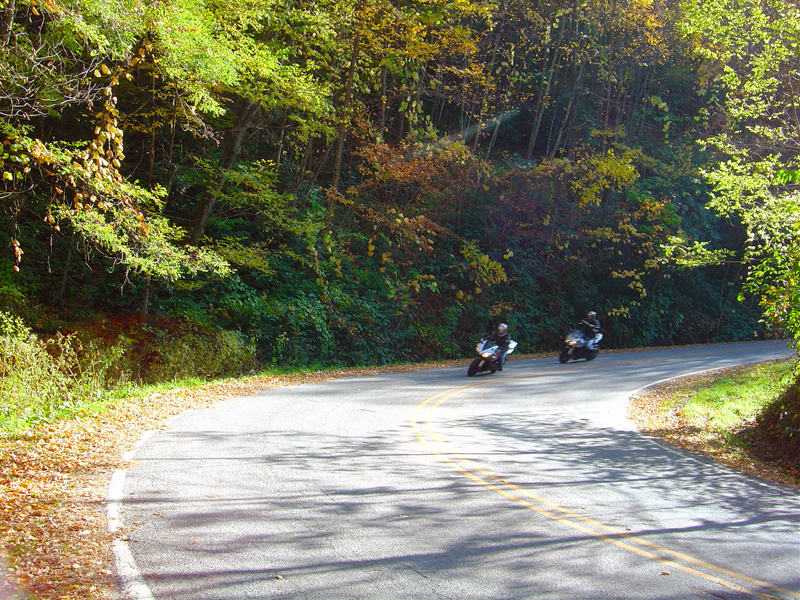
Starting at the Wagon Road Gap exit (US 276) at milepost 412.2 on the Blue Ridge Parkway at the Cold Mountain Overlook, turn right at the end of the ramp (towards Waynesville) to pass under the parkway and start your 3 mile plunge down the steep and winding two lane. Expect some bumpy pavement here, tight turns, and watch for rocks in the road.
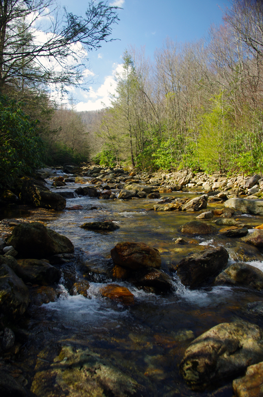
A sweeping right hand curve takes you by the trailheads at Big East Fork, one of the most popular and accessible hikes on the river. If you’re looking to stretch your legs with a scenic walk or cool off in the chilly mountain water, use the trail which starts at the small parking lot uphill from the larger one near the big rock face - it’s the better trail.
The next 3.4 miles wind through the national forest while the river rushes mostly unseen below you on your right. Once you reach a nearby campground, the road and river meet as they flow by the small hamlet of Cruso and leave the wilds of the forest behind.
You’ll find the first gas stop at a small store 10.4 miles into the ride. The remaining 4.3 miles on US 276 follow the river through small mountain farms and homes where you’ll pass fields of Haywood County’s famous tomatoes, trout farms, pastures of cattle and goats, and maybe a llama or two.
This leg of the triangle ends when you reach the traffic light in Bethel. There are several gas stations here so take advantage of the gas stations here to top up.
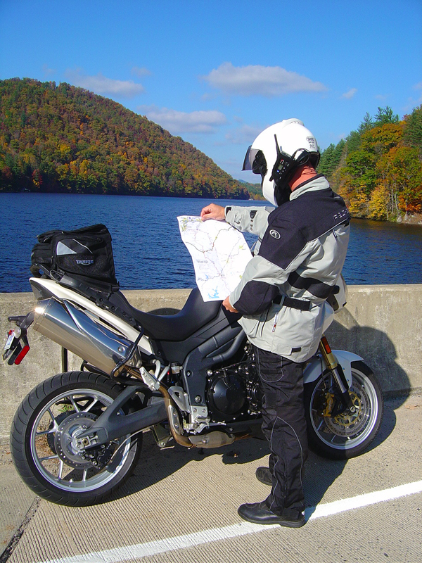
From the traffic light in Bethel, turn left onto NC 215 - (Lovejoy Road) and start your long climb back up to the parkway. The first section takes you back out into the farmlands as it twists along the river. In 2.9 miles you’ll reach a stop sign where Lovejoy Road merges onto Lake Logan Road. Turn left and continue along the river passing the Sunburst Trout Farm and Lake Logan.
The bridge at Lake Logan is a popular place for a break in the ride and get prepared for the challenge ahead. Beneath this lake once stood the thriving logging town of Sunburst which fed the paper mill 20 miles downstream in Canton. The town was abandoned when the lake was dammed to help control flooding back in the 1930’s.
In 3 miles you’ll re-enter the national forest. There's a nice swimming hole across from the campground.
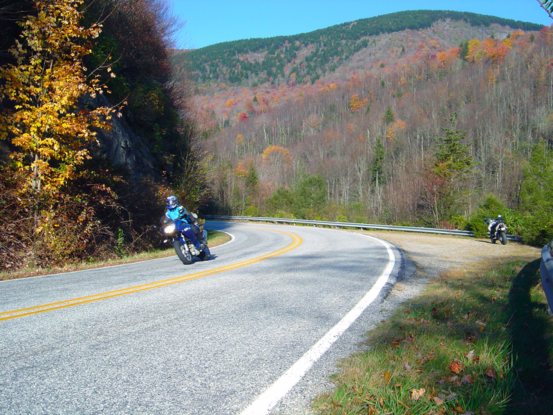
Once in the forest, things get twisty and the remaining 8.4 mile ride to reach the Blue Ridge Parkway is a blast. The higher you go, the better it gets, though the road surface gets bumpier and at the highest elevations expect a little gravel on the road in turns.
With luck, you won't cruise past a couple of decent roadside waterfalls if you're watching for them. The first will come on you quickly, where Bubbling Springs Branch passes beneath the road at a hairpin curve. Very limited parking at a small pull off on the downhill side of the curve.
The second, Flat Laurel Creek, is harder to spot. Look for it on the left once you've crossed a small stone bridge over the river. After a few sharp curves, the road will straighten out. Look for a large unpaved pull out on the left. Be careful not to pull in close to the guardrail here - there is usually a deep trench caused by runoff near the falls viewing spot. It's easy to avoid, but a tragic mistake if you don't.
Exercise caution on the final couple miles to reach the Blue Ridge Parkway. The curves are tight, and you're very likely to find them littered with gravel. You'll be getting back on the Blue Ridge Parkway at Milepost 423.3 at Beech Gap.
The 11.7 mile section of the Blue Ridge Parkway that completes this loop is one of my favorites. While there are numerous overlooks, three of them deserve mention.
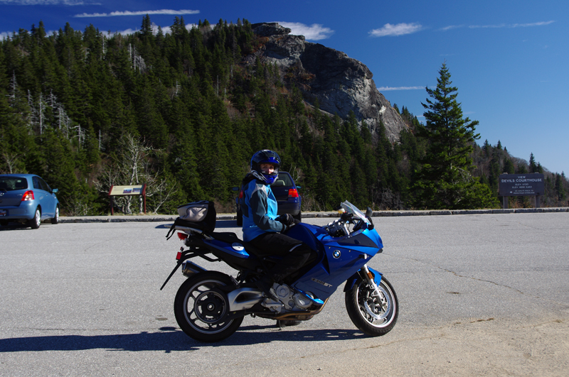
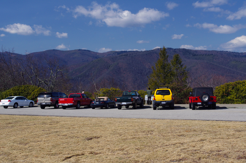
The first is The Devils Courthouse at Milepost 422.4. This massive rock face and outstanding view south into South Carolina has a large paved pull off for you to enjoy. There is a one mile trail to the top, a pretty strenuous hike, but the views may be worth your effort. A Parkway tunnel passes beneath the ridge that leads to the rugged formation.
The second overlook that must be mentioned is Graveyard Fields at milepost 418.8. This my be the most loved-to-death spot on the entire Blue Ridge Parkway. The large parking lot is almost always full and cars may line the road surrounding it. The area got it's name from a huge forest fire that started from a logging engine back in the 1930's which left nothing but charred stumps across the landscape resembling tombstones.
A 10 minute paved walk leads to the top of Second Falls, and trails lead out to 2 more waterfalls. Several others converge here at this hub on the edge of the Shining Rock Wilderness Area. You can view the waterfall from a distance from the Blue Ridge Parkway a little further up the road. Pull off just before the rock wall along the parkway begins and look back to see it. This is a rough and rutted area to pull off and hazardous on a bend with a lot of traffic.
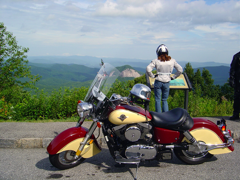
Finally, one of my favorites is the Looking Glass Rock overlook at milepost 417. With great views of the 600 ft domed cliff faces on this 3 mile long geologic formation thrusting up from the valley and the vast expanse of surrounding forest, it makes for nice photos. Should you find yourself wondering why there are loads of cars yet no people in sight, it's because there is a "fairy tale" swimming hole 15 minutes hike down a trail across from the overlook. Don't tell anyone, it's a secret!
Returning to the starting point at the Cold Mountain Overlook on the Blue Ridge Parkway, take a second view of Cold Mountain now to appreciate just how big it is now that you've circled it.
Interactive Map
To use the interactive map, you can click on any of the waypoints for more information (see key below map for details on the different waypoint icon types). You can also click on the route segments for detailed directions. Since we use the Google Maps interface, you can pan and zoom easily. Also, you can drag the "Person Icon" above the zoom bar to the route for a 360° tour using Google Maps Streetview system.
| This Ride Sponsored By: |  |
Map Key:
![]() Start of Ride
Start of Ride
![]() Intersection Marker
Intersection Marker
![]() Scenic Point
Scenic Point
![]() End of Ride
End of Ride
Elevation Profile

Elevation Information
- Lowest Point: 2661'
- Highest Point: 3766'
- Average Elevation: 5639'
Grade Information
- Max Uphill Grade: 16.7%
- Max Downhill Grade: -11.7%
- Avg Grade: -3.8%
Mile by Mile Directions
- Mile 0 :: Cold Mountain Overlook on the Blue Ridge Parkway Milepost 412. Exit the parkway, turn right towards Waynesville on US 276
- Mile 3 :: Big East Fork Trailheads
- Mile 10.4 :: Closest Gas Station
- Mile 14.5 :: Turn left at the Traffic Light in Bethel, junction US 276, NC 215, NC 110 on to NC 215 (Lovejoy Road).
- Mile 17.4 :: Turn left when Lovejoy Rd (NC 215) meets Lake Logan Rd (NC215) at the stop sign.
- Mile 21.2 :: Lake Logan Bridge
- Mile 28.5 :: Waterfall, Bubbling Springs Branch
- Mile 31 :: Waterfall, Flat Laurel Creek
- Mile 32.8 :: Turn right to access the ramp onto the Blue Ridge Parkway at Beech Gap @ Milepost 423.3, then turn left on the Blue Ridge Parkway towards Asheville.
- Mile 33.7 :: Devils Courthouse Overlook - Blue Ridge Parkway Milepost 422.4
- Mile 37.3 :: Graveyard Fields Overlook - Blue Ridge Parkway Milepost 418.8
- Mile 39.1 :: Looking Glass Rock Overlook - Blue Ridge Parkway Milepost 417
- Mile 44.1 :: Cold Mountain Overlook on the Blue Ridge Parkway Milepost 412
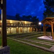
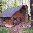
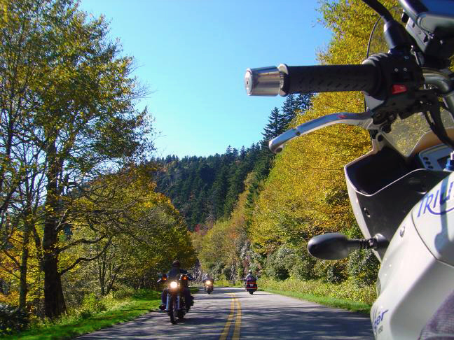
Photo Gallery
Click on a square thumbnail to view a larger image.
Attribution
 This motorcycle ride was contributed by Wayne Busch from America Rides Maps. It is one of many great rides featured on map #6 ("The Best Motorcycle Rides Near Smoky Mountains National Park - EAST") in the Blue Ridge Parkway series of Motorcycle Maps. You may purchase this map and other America Rides Maps at the Virtual Blue Ridge Bookstore.